
Trace a Coppell Street Directory by Address
A street search begins with the parcel, not a name. Coppell extends across Dallas and Denton counties, so use the city map and the appraisal result to establish the county before opening a recorder or court portal. Dallas County is the principal stop for many Coppell parcels, but the smaller northern portion can route to Denton County. A Coppell mailing label is not enough to choose between the two. Keep the address exactly as supplied, then make a second normalized version for the record systems.
Each stop produces a different kind of evidence. The appraisal record can connect an address to a public parcel record. A deed index can connect a legal description to a recorded transfer. A permit report can show a dated city file. Texas voter information may corroborate registration facts when lawfully obtained, but it does not prove that every person at an address lives there now. Mark the source date and the county on every result.
- Confirm the parcel’s city and county context in the Coppell Engineering map, then select Dallas CAD or Denton CAD for the address.
- Open the appraisal account and save its parcel identifier, legal description, situs address, and retrieval date. A situs address is the property’s physical location.
- Use the matching county deed index to search the legal description, subdivision, lot or block, party name, and recorded-date range. Record an instrument number before requesting a copy.
- Check the city permit or archive record for address-linked municipal activity, keeping permit dates separate from ownership or occupancy claims.
- For an older household clue, compare a dated street guide or regional directory page with the parcel and deed trail. The historical volumes are handled in more detail in the Coppell city directory collections.
That sequence keeps the address research focused on location evidence. It also prevents a name in one index from being treated as a complete record of a household.
Coppell Streets Meet Two County Systems
Coppell’s county line is more than a map detail. It determines the appraisal district, deed custodian, court path, and some vital-record routing for an address. The city’s tax information identifies the Dallas and Denton split and links both appraisal districts. Use the municipal map for city limits, streets, trails, and county-line context. Then use the county CAD for parcel evidence. Neither map is a legal survey.
On the Dallas side, the Dallas CAD address search leads from the address to an account and property-detail link. On the Denton side, the Denton property search distinguishes an owner mailing address from the actual situs. A result can lag a recent change, and protected fields can be absent. The county choice should therefore be recorded beside the address rather than assumed from the city name.
Coppell Street Directory Searches at Dallas CAD
Dallas CAD is the address-search route for a Dallas County parcel. Its form separates the address number, direction, street name, building or suite, city, number range, and account type. The street-name field should not include a street type or direction. Dallas CAD also documents a percent sign as a wildcard, and a one-letter street needs the form X%. These small format rules matter when a normal street search returns no result.
| Dallas CAD field | Use for a Coppell address | Format or limit |
|---|---|---|
| Address Number | Enter the street number or a range | Required with street name |
| Direction | Place N, S, E, or W separately when applicable | Do not add it to Street Name |
| Street Name | Enter the core street name | Omit street type and direction; use % for a wildcard |
| Building or Suite | Narrow a multi-unit address | Optional; do not place suite letters in Address Number |
| City and Account Type | Refine the returned property accounts | Account choices include residential, commercial, and BPP |
The same district’s owner search asks for a full last name and at least two first-name letters. Its help suggests trying “Mc Donald” for “McDonald.” That is a useful follow-up after an address record identifies a public owner field, not a substitute for the address-first search.
Note: Dallas CAD data can lag events, so a result should be compared with its account detail and the county deed index.
Coppell Street Directory Routes Into Denton
For the Denton County portion of Coppell, the parcel workflow is different. Denton CAD GIS and county property search use the R Number as a bridge from map geometry to the record system. Turn on Parcels, then use the available layers for city limits, streets, addresses, sales, owners, abstracts, or districts as context. Click a parcel to retrieve its R Number and preserve that identifier with the search date.
Denton’s situs search refers to the physical property location. Its help says to omit street type and direction from the situs form. An owner address is a mailing address and is not the same field. The property search also offers account type, inactive-account, and paid or unpaid status controls. Parcel geometry is exported weekly, while ownership changes can lag during notice or appraisal-review periods. The GIS therefore supplies a map connection, not a final ownership conclusion.
The Denton CAD parcel service supports read-only queries, distance searching, and pagination. Its underlying parcels come from plats, deeds, and judgments. For a long Coppell street, inspect individual parcel IDs instead of assuming every nearby map label belongs to the same street or jurisdiction.
See the Denton CAD GIS viewer before using its parcel detail. The screenshot shows the map-oriented starting point; save the R Number from the matching parcel rather than relying on an image alone.
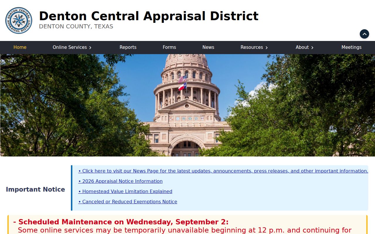
The viewer is useful for connecting a Coppell street to a parcel record, but its geometry should be checked against the CAD detail and legal description.
Coppell Streets in the City GIS
The Coppell Engineering map adds the location context that an appraisal account does not show. Its layers include city limits, the county line, parcels, streets, schools, trails, sidewalk and crossing information, points of interest, and planning material. This makes it a practical first view when an address lies near a boundary or when a returned locality does not match the expected municipal name.
The city describes its map data as provided as-is and without warranty. Use it to locate the street and determine which official system to check next. CAD supplies the appraisal record, and the county clerk supplies the recorded instrument. A city map cannot settle a legal-description question by itself.
Open the Coppell city GIS to inspect the county line, street pattern, and planning layers before selecting a county record path.
Its city-limit and county-line layers are especially helpful when the same Coppell street needs a Dallas or Denton follow-up.
Coppell Street Records From Permits
Municipal permit files add a dated address layer to Coppell by-street research. The city’s Building Inspections page directs users to Civic Access for inspections, scheduling, applications, plans, and payments. The office is at 265 E Parkway Boulevard, and the city also provides phone and fax contacts. Permit categories range from additions, repairs, roofs, pools, and solar work to demolition and new construction. Fire permits use the Fire Marshal path.
The city archive’s permit reports can show a permit number, type, workclass, status, main address, project, district, parcel, application date, zone, issue date, square feet, expiration, valuation, fee total, last inspection, finaled date, assigned person, and description. Those fields document municipal activity. They do not establish continuous occupancy, current ownership, or the identity of every person connected with an address.
For a targeted record, use the Coppell Archive Center with an address, category, and date range. The archive has keyword, category, time-period, and start/end-date filters. Planning subdivision and zoning files are maintained in Laserfiche, and a specific plat or SUP file can be obtained through Planning when available.
Coppell Address Records in a Street Directory
Address-keyed sources work best as a chain. Start with a CAD parcel account, then bring its legal description or subdivision to the county’s official recording index. Add a permit result only as evidence of a municipal file at the address. USPS can confirm an address-level postal label, while city and county GIS can test the city and county context. These records use different update schedules and different definitions of address.
| Address record | Coppell custodian or portal | Useful fields | Access path |
|---|---|---|---|
| Appraisal parcel | Dallas CAD or Denton CAD | Parcel ID, situs, legal description, public owner or mailing fields, values | Public property search |
| Street and boundary map | Coppell Engineering GIS | Streets, city limit, county line, parcels, planning context | Public viewer, data as-is |
| Recorded instrument | Dallas or Denton County Clerk | Grantor, grantee, date, document number, legal description | Official index; request copies from the clerk |
| Permit or inspection record | Coppell Building Inspections and archive | Address, parcel, type, status, dates, inspection and description | Civic Access, archive, phone, or in-person channel |
| Voter information | County elections and Texas SOS processes | Registration-related fields subject to Texas protections | Use the official entry point and applicable request rules |
Dallas County’s official-records search and Denton County’s official-records search have parallel quick and advanced controls, but they are different custodians. The Dallas page displayed certification through February 16, 2026 during capture, while Denton displayed certification through August 27, 2026. Those are freshness indicators, not promises of complete historical coverage.
Note: Preserve the query, selected county, portal date, document number, and whether a result was an index entry or an image.
Coppell Deeds Behind Each Street
A deed trail follows the property rather than every person who may have used an address. Dallas County’s Recording Division is at 500 Elm Street, Suite 2100, Dallas, and Denton County’s Recording Division is at 1450 E. McKinney Street, Denton. Both counties provide official online search paths. A search result should be logged with the county, recorded date, department, document type, grantor, grantee, document number, and legal description. The official portals did not expose a precise online-index start date in the unattended research.
For a Dallas copy request, the county form asks for recorded name or party, instrument number, document type, property address, copy type, and a prepaid self-addressed envelope. Dallas lists plain copies at $1 per page and certified copies at $1 per page plus $5 per document. Denton records can be pursued through its Recording Division with the county’s accepted payment process. When an old online search is empty, the clerk’s historic or physical material may still be the right next channel.
- Parcel
- A defined piece of land in the appraisal and mapping systems, usually tied to a CAD account or R Number.
- Situs address
- The physical location of the property, which may differ from the owner’s mailing address.
- Plat
- A recorded map that lays out a subdivision, lots, blocks, streets, or related land divisions.
- Criss-cross directory
- A historical directory arranged by street and number, useful for a dated address clue rather than a current resident claim.
Coppell Postal Labels Need a Street Check
Postal geography is useful for verifying the spelling and delivery label of a specific address, but it is not parcel jurisdiction. The USPS ZIP Lookup is the current address-level verification path. Coppell’s ordinary delivery label is 75019. The city’s library membership material also identifies Cypress Waters as Dallas city limits and South Haven as Irving city limits, even where a Coppell ZIP can appear. CAD situs, the city map, tax account, and legal description provide the stronger location chain.
The unusual 75099 label is tied in official USPS material to the North Texas Processing and Distribution Center at 951 W Bethel Road. It is not a normal residential delivery address in the cited workbook. A 2019 Postal Bulletin documents a 75056 label-container change to COPPELL TX 75019. These are routing facts, not evidence that a household is in Coppell.
Limits of a Coppell Street Directory
Address-linked public sources cannot become a roster of every current household. A CAD owner field may be delayed, incomplete, or a mailing address. A recorded deed shows a transaction and legal description, not a present resident. A permit shows municipal activity. A voter source can be protected, suppressed, stale, or limited by Texas Election Code rules. The official Vote Denton entry point was located, but its live fields and result behavior did not render during unattended research, so no unverified search format belongs here.
Texas protects confidential voter information, Address Confidentiality Program participants, and some appraisal fields. Absence, a post-office box, or a substitute address can be a privacy signal rather than a gap to defeat. For a one-person question, compare independently dated official records and label each person’s role precisely. Do not collapse owner, occupant, voter, permit applicant, party to a deed, or requester into the same claim.
Lawful personal research. Use Coppell address records for a legitimate personal, family-history, civic, or property question, and never use them to stalk, harass, intimidate, or harm anyone.